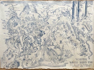
Pictorial Yosemite Winter Sports Map (1945)
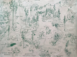
Whimsically illustrated pictorial map of California’s Yosemite National Park, created by Carroll Barnes in 1945. The verso lists 37 notable places, sports and activities that visitors can enjoy in the park during the winter months, each corresponding to the numbers and names appearing on the map. Cartoon figures exaggerate the features, landmarks and animals of the park, highlighting the map’s dual function as both an informative guide and a collectible piece of ephemera. Such souvenirs became increasingly common as national parks grew in popularity as vacation destinations during the World.....
Item #2208