

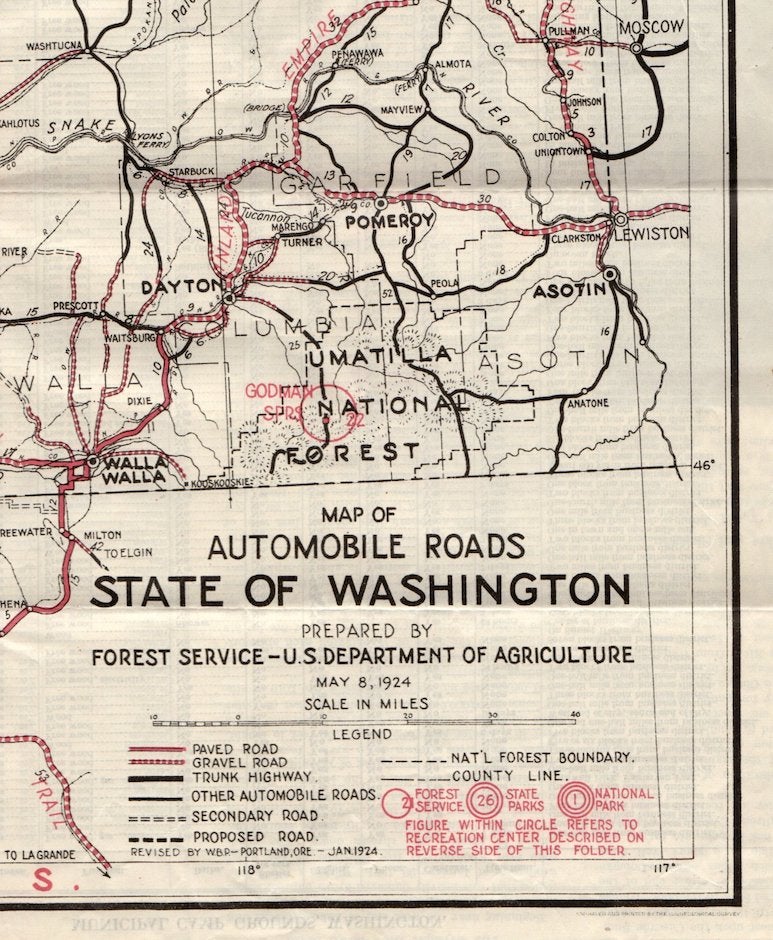
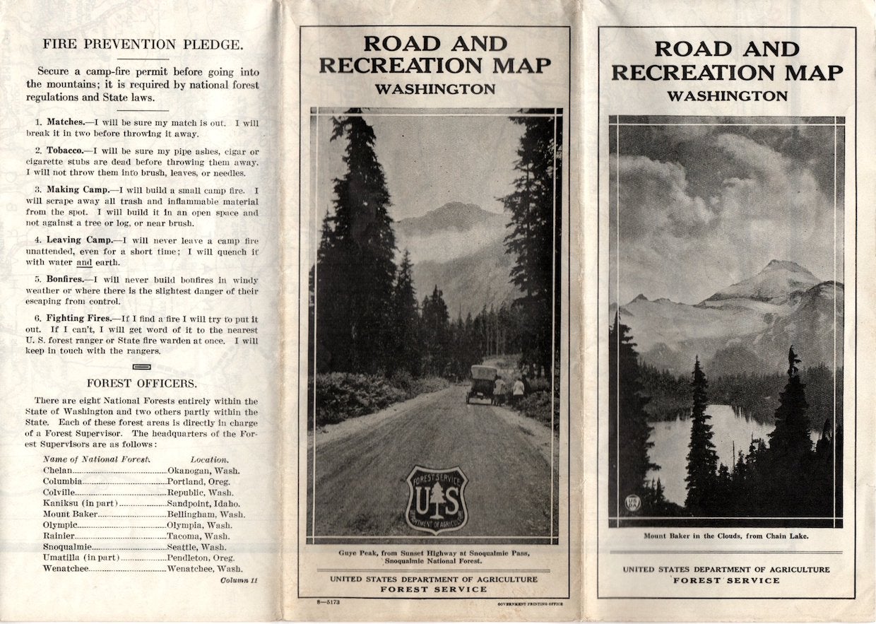
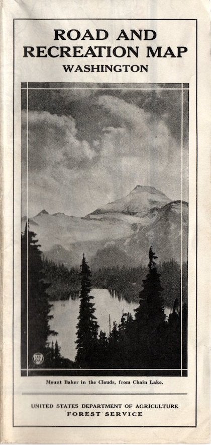
Road and Recreation Map, Washington State (1924)
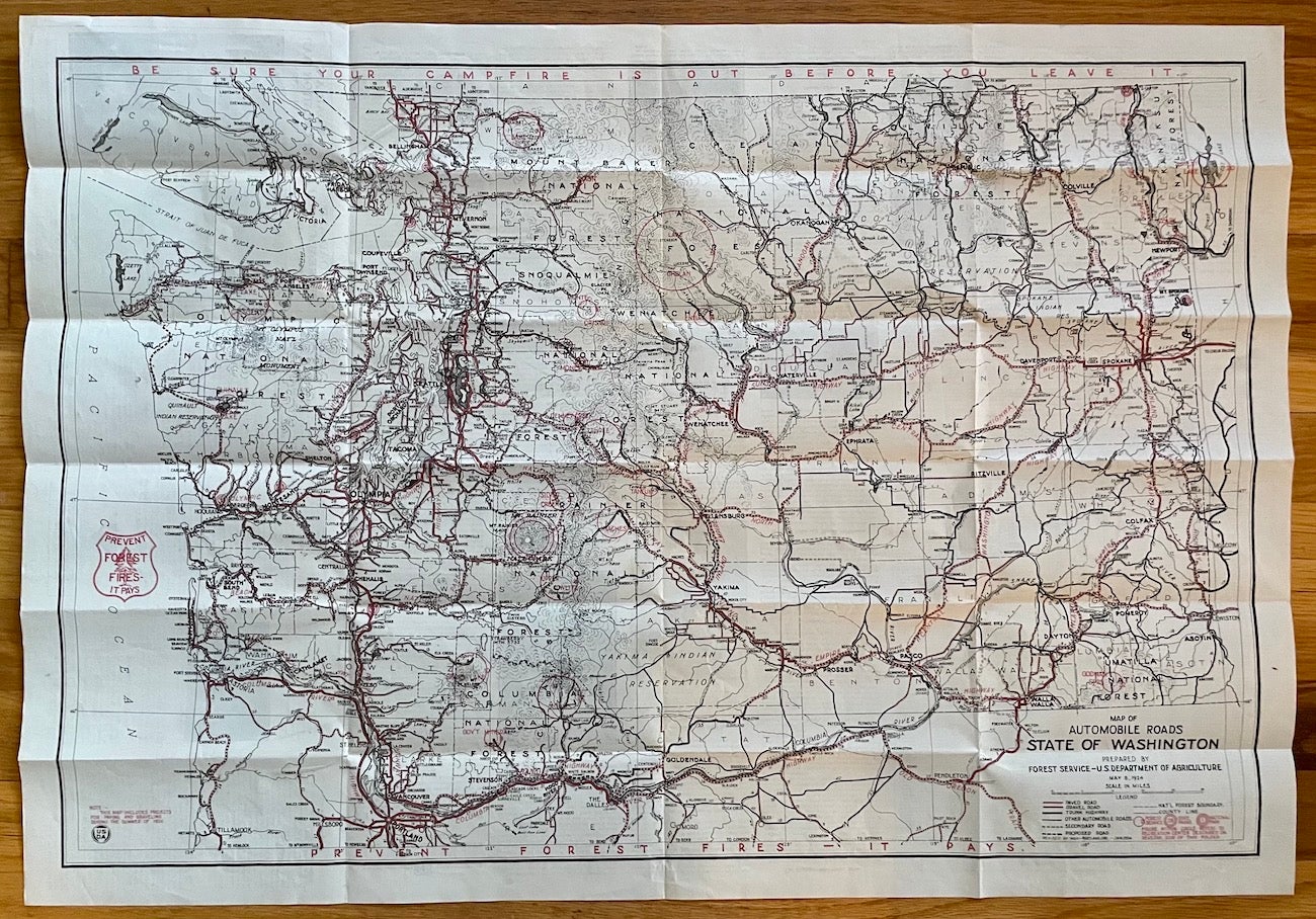
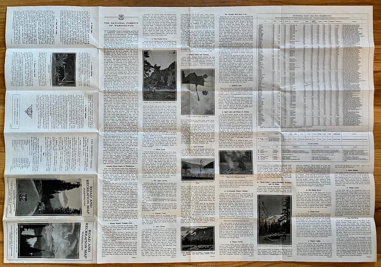
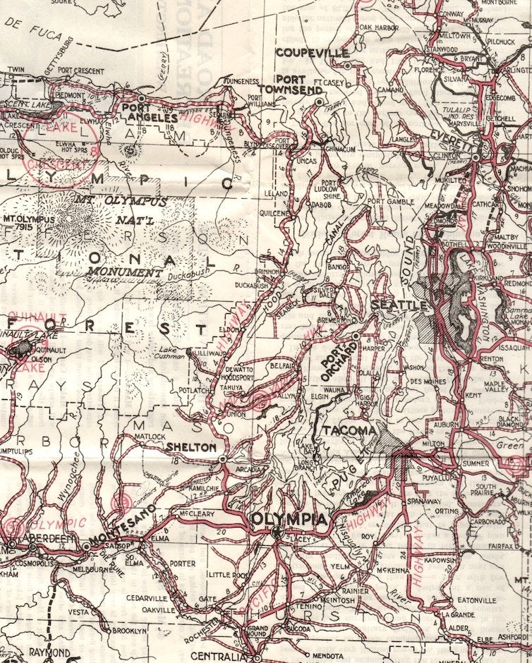
A vintage road and recreation map for Washington State, issued in 1924 by the U.S. Dept. of Agriculture/Forest Service. Folds out to 32" x 22" with one side having information on mountains, rivers, lakes, campgrounds, and more. The other side is the state map with auto roads and cartography in red and black.
Please note: we have several other maps from the Forest Service of this vintage (1920s-1940s) including Oregon, Mount Baker, Columbia, Snoqualmie, Rainier, and Chelan National Forests (WA), plus Deschutes, Santiam, Willamette, Umpqua, Rogue River and Crater Lake National Forests (OR). Inquire by email. Item #1508.
Condition: Very Good, folded as issued; some toning to paper.
Price: $50.00